2002 Sequoia/Kings Canyon Hike - Day 2
Twin Lakes to Sugarloaf Valley - 13.4 miles
(put altitude thing here)
[Second Night's Camp Site]
<-Previous Day]
[NextDay->
[Day 0]
[Day 1]
[Day 3]
[Day 4]
[Day 5]
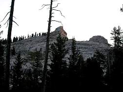
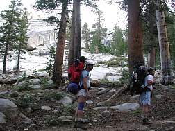
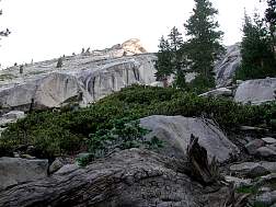
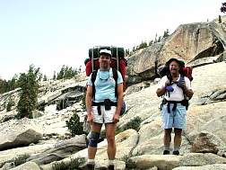
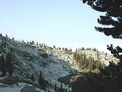
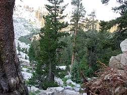
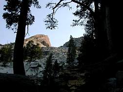
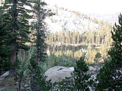
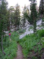
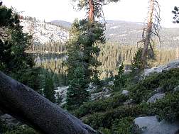
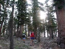
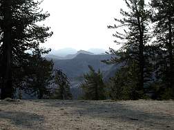
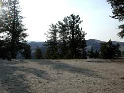
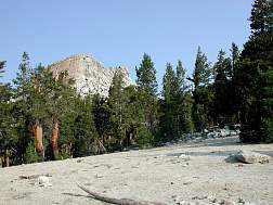
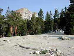
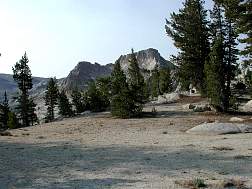
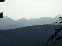
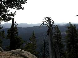
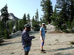
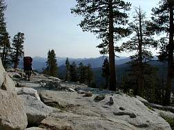
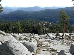
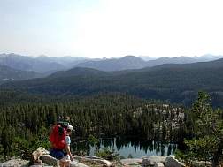
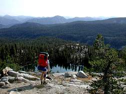
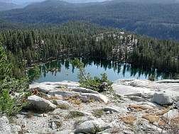
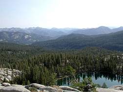
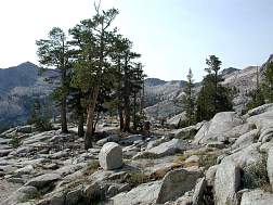
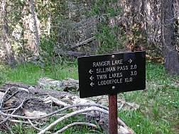
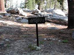
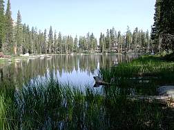
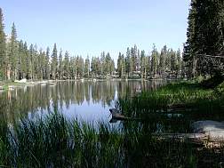
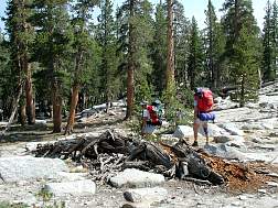
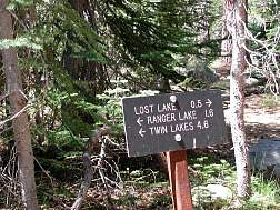
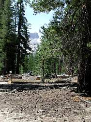
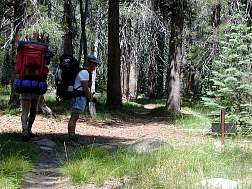
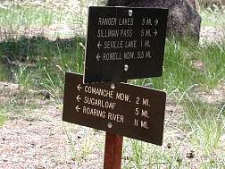
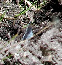
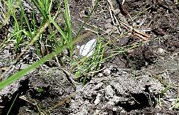
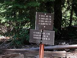
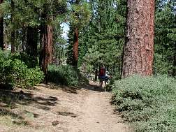
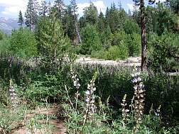
We started the morning by climbing Silliman Pass, which was fairly easy since we were starting fresh. The trail up gave us several good views of the lakes, but not any really clear views, as the trees obstructed part of the view. We also had much clearer views of Twin Peaks. We reached the top pretty quickly.From Silliman Pass you have a splendid view to the east. We thought we were able to pick out the ridge line of Mount Whitney in the distance. Of course, there were also clear views of Mt. Silliman & the other near peaks, and a good view of the route that was ahead of us. Most of the route for the rest of the day was downhill, so this promised to be one of the "easy" days. From Silliman Pass, we quickly dropped down to Ranger Lake, where we stopped to filter some water. Ranger Lake is very photogenic, particularly with the dragonflies flitting over it as they were that morning. Unfortunately, I didn't have the presence of mind to use the macro mode to get a good closeup of a dragonfly, so you can't really see them in any of these images. From Ranger Lake we power hiked down to a trail intersection near Comanche Meadow, where we stopped for lunch. We knew there were official camp sites with bear boxes & stuff at Comanche Meadow, but we didn't know what to expect at Sugarloaf Meadow. After lunch I went back to the creek to try to take a picture of fish, but without a polarizing filter I was having no luck, so I decided to take a couple of pictures of the butterfiles on the shore instead. When we got to where we expected Sugarloaf Meadow to be, there was no sign indicating an "official" camp site, as there are in most of the camp sites in the area, but there was a sign that pointed off to a side trail that said "<-- bear box". We thought that meant we were close to the main camp. We were about 10 miles along at this point & nearly out of water, but we thought we were almost there, so we forged ahead. A mile later & still no official campsite in sight, we were dry and exhausted. David went & scouted ahead while I got some water and started treating it with iodine tablets. I had the "potable aqua +" kind, where first you treat the water with iodine to kill the giardia & other contaminants & then you treat the water with another tablet to kill the iodine taste. They actually worked out pretty well. At very least they make a good backup in case your pump fails.
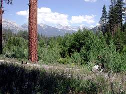
David came back about 15 minutes later. He had found a good site next to a stream a few minutes down the trail, so we hefted our packs & slogged the last quarter mile into camp and collapsed. In retrospect, I don't think it was the mileage that did us in, as the dehydration. As soon as I'd sucked up a half a quart of water & some soup, I was actually feeling pretty good. We should have pumped more water after lunch some time, and I think we would have made it into our camp (or maybe even a further camp) a lot fresher. Live & learn. wildlife: deer, fish, squirrels, bugs, birds.
|
