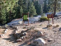
Our campsite at Lodgepole was right next to the trailhead, but
we had to wait for the Ranger station to open to get our permit.
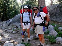
We hit the trail at about 8:00. Our packs were full, but our
energy was high since it was the first day.
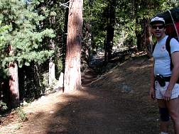
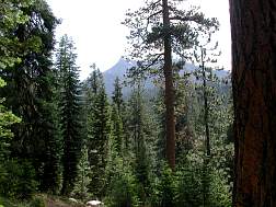
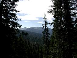
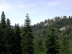
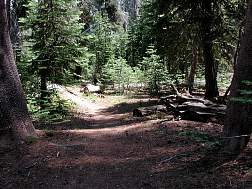
I was in my usual (shoot first, ask questions later) photo shooting
mode, so I took a whole bunch of shots along the trail on the first
day. Unfortunately, I forgot my circular polarizing filter, so on
many of the landscape shots either the sky is completely washed out
or the trees are dark & foreboding. Once again, photographer error
can be interpreted as artistic choice. :-)
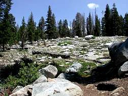
We encountered a few groups of people on the first day, most of
them hiking down from Twin Lakes to Lodgepole. The trail on the
first day was mostly uphill, but fairly gentle uphill, so we
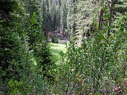
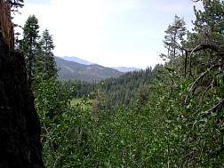
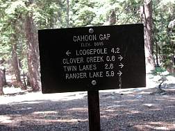
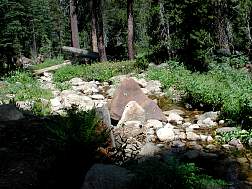
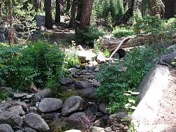
quickly powered our way over Cahoon Gap & down to Clover Creek,
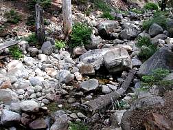
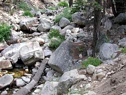
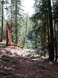
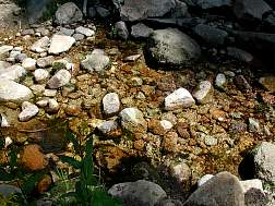
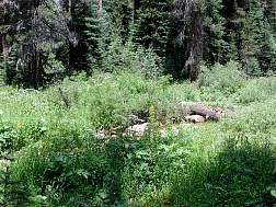
where we stopped for lunch. Our lunching spot was just the other
side of the creek you can see in the CloverCreek1 & CloverCreek2
images.
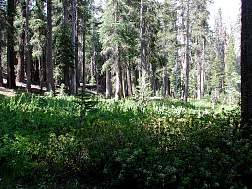
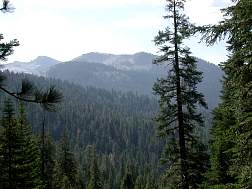
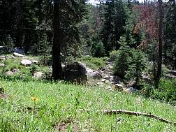
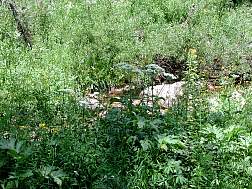
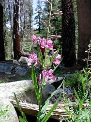
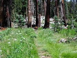
They had a late snow melt in Sequoia/Kings Canyon, which meant there
was plenty of water everywhere. This had two side effects for our hike.
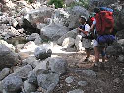
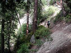
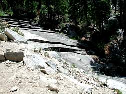
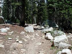
First, there were many stream crossings, all but one of which were
accomplished with boulder-hopping. The trail3 image shows a rather
easy crossing, though some were a bit harder. The second effect
was that the wildflowers were really in bloom. I kind of blew it
by mostly shooting large areas of wildflowers, but the greenery was
so lush that it washed out the subtle colors of the flowers in most
cases. Live & learn.
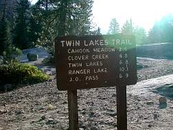
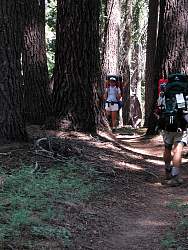
After lunch was the hardest stretch of the day, from Clover
Creek up to Twin Lakes. Dick & Dave decided to take it easy,
but I was anxious to get into camp, so I went ahead and arrived
in camp about 20 minutes before them. I chose a a camp site,
pumped some water & was just settling in to take a little nap
when they arrived.
wildlife: bugs, a few fish, birds, squirrels
<--Back to Day 0]
[On to the first camp site-->
|